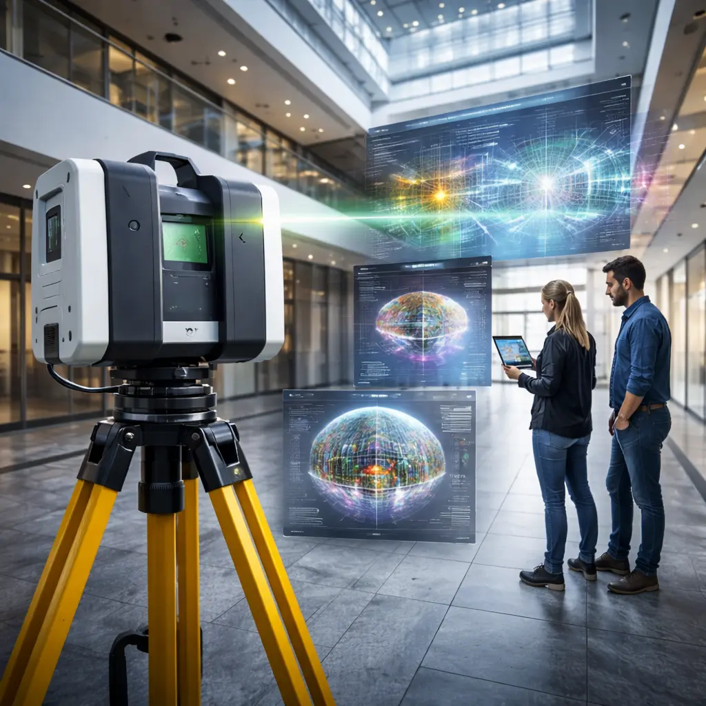
Scan to BIM: from 3D laser scanning to the BIM model
We digitise existing buildings and infrastructure with 3D laser scanning: we generate the point cloud, register it and turn it into an as-built BIM model in Revit, ready for design, construction or maintenance.
- 3D laser scanning and drone photogrammetry
- Registered and cleaned point cloud
- As-built BIM modelling in Revit
- Leica RTC360 equipment rental
More than 3,500 colour point cloud scan positions captured across industrial buildings.
Industrial complex documented with 6 BIM technicians and more than 100 scan setups per day.
Experience with Faro and Leica Geosystems scanners and with registration workflows in Scene, Register360 and Recap.
What is Scan to BIM?
Scan to BIM is the process that turns the built reality into a BIM model. The building or facility is scanned with a 3D laser scanner, producing a point cloud with the actual geometry of the asset, and from that point cloud what already exists is modelled in Revit: structure, architecture and MEP.
The difference with working from old drawings or legacy CAD is the starting point. That documentation shows what was designed, not what was finally built: unrecorded refurbishments, site deviations, services that were moved. When a project relies on it, the error surfaces later, already on site, where fixing it costs time and money.
In Scan to BIM you measure first and model afterwards. The model starts from a measurement of the current state, so every team works on the same geometry from day one. That is why it is the usual starting point for refurbishment, retrofit, industrial facilities and as-built documentation.
From laser scanning to the BIM model in Revit
The workflow covers the four stages of the process, from on-site capture to the delivery of a BIM model tailored to the needs of each project.
On-site data capture
We scan the asset directly on site with the Leica RTC360, planning the scan positions needed to cover the whole building with no blind spots. When the project requires it, we complement the capture with drone photogrammetry.
Point cloud registration and processing
We merge and register the scans into a single coordinate system, clean up the noise and deliver a clean point cloud, ready to work with in Revit and other BIM environments.
BIM modelling on the point cloud
We model on top of the point cloud and cross-check it against all available information to produce a BIM model organised according to professional standards, with the level of detail agreed for each discipline.
Adaptation to the final use
We adapt the BIM model to its intended use: refurbishment design, construction progress tracking, facility management, heritage preservation or digital twin.
When a Scan to BIM project makes sense
Whenever something already built has to be modified, documented or managed and the existing documentation is not reliable.
Refurbishment and retrofit
You design on the real state of the building instead of on drawings that no longer match the site. That prevents the surprises that show up halfway through execution and the cost overruns of redoing finished work. The whole team starts from the same geometry on day one.
Architecture and engineering
The model of the existing building becomes the common base for every discipline, so each practice works on the same information. Inconsistencies between documents drop, and so do the hours lost in cross-checking. When the scope changes, the model is updated rather than rebuilt.
MEP and building services
Documenting the real routing of services means clashes are found before execution, not once the material is already on site. It pays off especially in ceiling voids, plant rooms and service galleries, where measuring by hand is slow and unreliable. Fewer stoppages and fewer changes on the fly.
Industry and logistics
Digitising a plant or a warehouse allows extensions and new lines to be planned while reducing the manual surveys that interrupt operations. The model then supports maintenance and lets you test alternatives before investing. On large complexes the capture is organised zone by zone so production is not disrupted.
Historic heritage
Scanning records complex geometries — vaults, mouldings, deformations — that cannot be surveyed with traditional methods. It also leaves a faithful record of the building's condition on a specific date, useful for authorities and for any future intervention.
As-built documentation and FM
At handover the model reflects what was actually built, which is what whoever operates the building actually needs. That documentation is the basis for maintenance and for a future digital twin, and avoids starting from scratch when the first refurbishment arrives.
How 3D laser scanning works
A 3D laser scanner measures millions of points per second and automatically registers its position between stations. The result is a point cloud with the actual geometry of the asset, which is the basis for the BIM modelling that follows.
A highly accurate point cloud and optimised 360° imagery to generate the BIM model, analyse clashes, document the as-built condition and feed later digital workflows.
High-speed 3D laser capture
Automatic position registration
Point cloud + 360° HDR imagery
Leica RTC360, the scanner we use
We work with the Leica RTC360 3D laser scanner, which covers large surveys in less time and with less registration work back in the office.
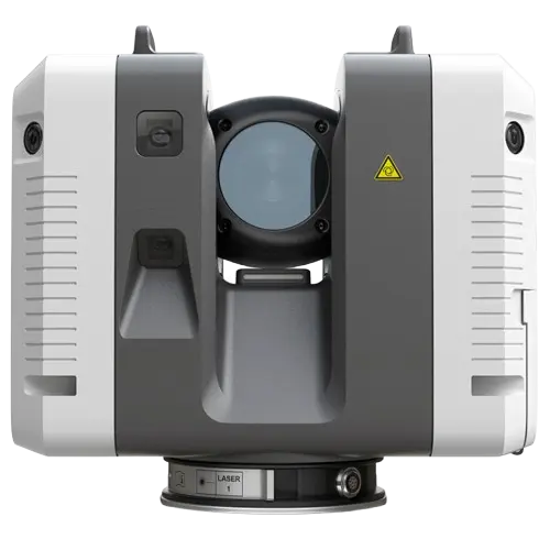
- Captures up to 2 million points per second with millimetre precision.
- Automatic field scan registration thanks to Leica VIS technology.
- Faster and more efficient workflows on large-scale Scan to BIM projects.
- Simultaneous capture of point clouds and high-quality 360° HDR imagery.
- Higher productivity in complex surveys by reducing scanning and processing times.
Common questions about Scan to BIM
Everything people usually ask before starting a laser scanning project.
Let's talk...
If you need an estimate, have a question, want information about our training programs, or have a suggestion, you can fill out the contact form to send us a message. We are ready to help you.
We are ready to help you.
Email: info@atbim.es
Contact us