Laser Scanning of Large Industrial Complexes, Part 1
1- “Scan to BIM: Beyond Teamwork”
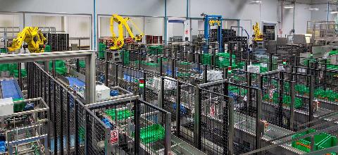
The challenge was to scan a logistics center the size of 15 football fields in the shortest possible time.
Yes, you read that correctly: more than 100,000 m² in 20 days... a major deployment of resources to provide a complete solution for our client: massive data capture to develop the building’s digital twin. And for what purpose? To obtain an accurate representation of the building’s current condition and to save time and money.
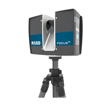
Let’s start from the beginning: our 3D laser scanner is a Faro M70, which captures colored points within a radius of 70 meters in just a few minutes.
It also takes 360º digital photographs of the building at each scan position. The resulting 3D point cloud is a collection of millions of coordinates (x,y,z), positioned in space and at true scale, accurately and reliably representing reality.
Planning and strategy:
An industrial building of this scale, while remaining fully operational, requires highly detailed advance planning and a team of operators experienced in data capture and processing. The team responsible for capturing the data and subsequently registering the information consisted of 6 BIM technicians. To give you an idea, each of them walked between 5 and 7 km per day throughout the industrial complex.
The scanning strategy and project study were carried out during the month prior to data capture, incorporating work sessions that simulated real working conditions. To meet the demanding schedule, which required us to perform more than 100 scans per day, we carried out a pull session. Here are some of the conclusions we reached and would like to share:
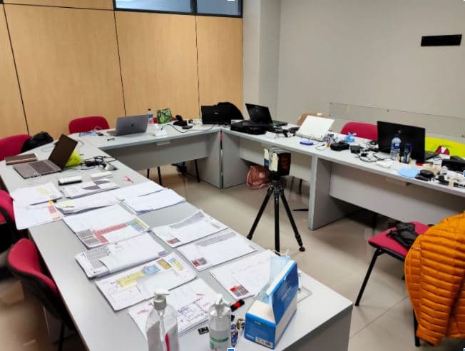
- Review health and safety principles every day: the building remains operational.
- Have drawings available as sketches for identifying positions in the field.
- Establish a file naming standard: controlling and verifying each scan in the field is essential for managing the information being generated.
- Prepare the scanner profiles in advance, properly configured and ready for fieldwork.
- Spheres: (THE KEY): Spheres printed using our 3D printer with different mounting systems (suction cups, magnets and bases). We will tell you more about them in the second part of this series.
- Deploy the necessary resources: 6 computers, 2 scanners, 1 drone...
- Truly work as a team.
Conclusion:
Capturing large amounts of data quickly and efficiently makes sense if we can subsequently use that data for a deeper purpose. When dealing with more than 100,000 m², obtaining a point cloud with the optimal balance between size and level of detail is essential: not too much, but not too little either.
Divide the project into sections and plan it using an initial strategy that standardizes teamwork. A large part of the project’s success comes from this approach.
In the following posts, we will tell you more about our “Scan to BIM” experience, including the spheres, techniques for processing large point clouds, processing software, and more.
Spread the word!